Land Clearing Services in Leiper’s Fork, TN

Land clearing, forestry mulching and pasture reclamation on the farms and wooded acreage around Leiper’s Fork — along Old Hillsboro Road, out toward Pinewood and Southall, and up against the Natchez Trace.
Owner-operated since 2019, working out of Burns just down Highway 96. Selective work on rural acreage, with the treeline and the view left intact. Free estimates.

Land Clearing & Forestry Mulching in Leiper’s Fork, Tennessee

Leiper’s Fork is about 1,100 acres and roughly 650 people, tucked into the hills and hollows of western Williamson County where the Nashville Basin starts giving way to the Highland Rim. The creek that gives the village its name runs along the southern edge, named for the Leiper brothers — Hugh, who surveyed this ground early on, and Captain James, who died at the Battle of the Bluffs in 1781. Old Hillsboro Road serves as Main Street, lined with nineteenth-century buildings, and the Natchez Trace Parkway hugs the village to the northwest. The whole 18-acre historic district went on the National Register in 1998. Around it is farmland, pasture and heavy hardwood on the slopes.

That setting is exactly why land clearing services in Leiper’s Fork have to be handled differently. This is a place that fought to stay rural — when State Route 840 was planned with an exit here in the early 1990s, residents took TDOT to court over the environmental review and won after nearly a decade, killing the exit. Two large parcels at the village’s eastern and western borders are permanently protected by conservation easements held by the Land Trust for Tennessee. Property owners here are not looking for a lot scraped flat. They want overgrown pasture brought back, fence lines reopened, understory cleared out from beneath mature hardwoods, and the character of the place left where it was.

Freedom Land Management works out of Burns, which puts the village a straight run east on Highway 96 through Fairview — closer to the base, in fact, than downtown Franklin. Josh has worked this ground since 2019, and the jobs out here are the kind the equipment is built for: multi-acre pasture reclamation, selective mulching on wooded hillsides, long fence lines, and access lanes on farm ground. It is owner-operated, so the person who walks your property is the same person running the machine when the work happens — which on land like this is the only way it should be done.

Our Services in Leiper’s Fork, TN

Every service Freedom Land Management offers is available across Leiper’s Fork and western Williamson County. Whether it is reclaiming pasture out toward Pinewood Road, mulching a wooded hillside off Southall, or opening a fence line on farm ground near the Natchez Trace, it is the same equipment and the same operator on every job.

Land Clearing in Leiper's Fork, TN

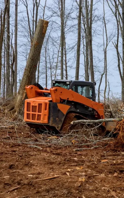
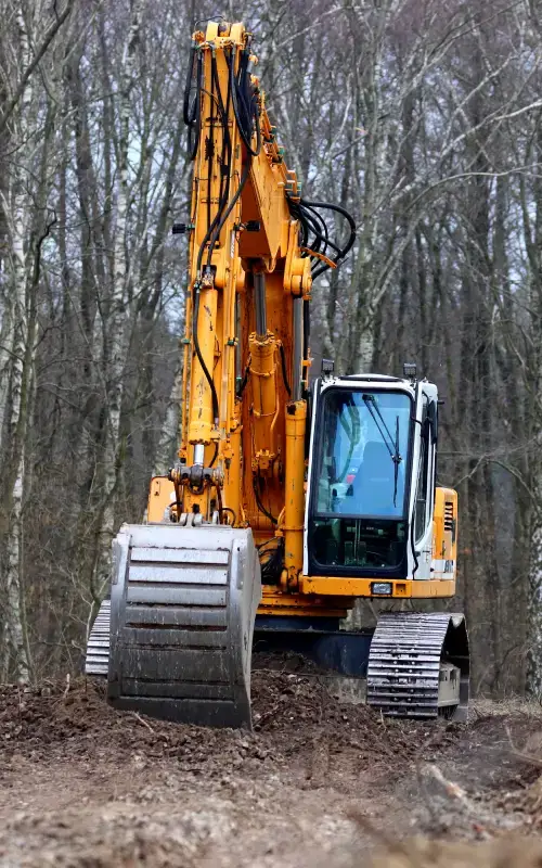
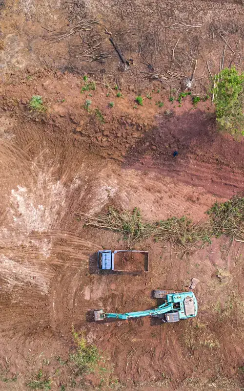
Clearing around Leiper’s Fork is farm and acreage work. Pasture that has gone to cedar and briar since it stopped being grazed. Fence lines that have closed in over a decade. Wooded hillside being opened up for a barn, a shop or a building site. Timber ground cleaned up after a cut. Access lanes cut back through property that runs further than it looks from the road.

The ground here is limestone with shallow soil on the ridges and heavier hardwood on the slopes, and it has real grade to it — steeper than Franklin proper. That changes how a job gets planned and priced. Every property gets a free walkthrough first, because slope, tree density, rock and access all move the number and none of them show up over the phone.

Services include:

  • Pasture and field reclamation for grazing or hay
  • Fence line and property line clearing
  • Wooded hillside and building site clearing
  • Brush and underbrush removal
  • Access lane and farm road clearing
  • Timber tract cleanup after a cut
  • Storm debris cleanup
  • Stump and root grubbing
Land Clearing in Leiper's Fork, TN

Local Expertise in Leiper’s Fork — We Know This Area

Leiper’s Fork sits in the hills and hollows of western Williamson County where the Nashville Basin begins giving way to the Highland Rim, and the ground is steeper and more heavily wooded than anything around Franklin proper. The village covers roughly 1,100 acres with about 650 residents. Leiper’s Fork creek runs along the southern edge and gave the place its name — after Hugh Leiper, who surveyed this ground early, or his brother Captain James Leiper, who died at the Battle of the Bluffs at Fort Nashborough in 1781. Ordovician limestone sits underneath with shallow soil on the ridges and deeper ground in the hollows, and hardwood covers most of the slopes. Two large parcels, one on the village’s eastern border and one on its west, are held under conservation easement by the Land Trust for Tennessee and will never be developed.

The route in from Burns is Highway 96 east through Fairview, which makes Leiper’s Fork closer to the yard than downtown Franklin is. Old Hillsboro Road — Highway 46 — runs through the middle of the village as its Main Street, past nineteenth-century storefronts, Puckett’s, the Country Boy, Leiper’s Creek Gallery and the Lawnchair Theater. The Natchez Trace Parkway hugs the village to the northwest, and Garrison Creek at milepost 427.6 marks the northern trailhead of the Highland Rim Trail section of the Natchez Trace National Scenic Trail. From there the work spreads out along Pinewood Road, Southall Road, Bailey Road and Old TN-96 onto the farms and wooded tracts that surround the village on every side.

The work here is agricultural and equestrian, and it is worth being plain about that. This is not lot clearing. It is pasture that has gone to cedar and briar since the last time it was grazed. It is fence lines that closed in years ago on properties measured in tens of acres. It is selective mulching on wooded hillsides where the owner wants the understory gone and every mature hardwood untouched. It is long driveway cuts, barn pads, access lanes and food plots. The village was historically the trade center for western Williamson County because of the Natchez Trace, and the land around it has stayed working farmland ever since.

Two things matter procedurally here, and both catch people out. First, Leiper’s Fork is unincorporated — there is no town government. Land disturbance permitting runs through Williamson County Engineering under the county Stormwater Management Regulations, with grading, drainage and erosion control plans required. Because most of the village shares the Franklin 37064 ZIP code, owners frequently assume the City of Franklin’s land disturbance and tree removal rules apply to them. They do not, and assuming otherwise means talking to the wrong office. Second, conservation easements are real out here. The Land Trust for Tennessee holds significant parcels at both edges of the village, and easement-encumbered land carries restrictions that must be checked before anything is cleared. Work on parcels adjoining the Natchez Trace Parkway also needs care with boundaries, since that is federal National Park Service ground. Seasonally, snow is not the constraint — the creek bottoms and hollows staying wet is, and that is exactly where low ground pressure mulching earns its keep.

Why Leiper's Fork Property Owners Choose Freedom Land Management

Selective Work That Respects the Land

People buy in and around Leiper's Fork for how it looks. The approach here is taking out understory and overgrowth while the mature hardwoods and the treeline stay exactly where they are — open, usable ground that still looks like the Fork.

Closer Than You Think

Freedom Land Management works out of Burns, straight east on Highway 96 through Fairview. That puts the village closer to the yard than downtown Franklin — shorter mobilization and less drive time built into the quote than the Nashville outfits can offer.

You Deal Directly With the Owner

Josh quotes the job, runs the machine and stands on the property while the work happens. No salesman, no dispatcher, no crew you have never met coming up your drive. In a village this size, discretion and accountability are not optional.

Built for Pasture, Fence Lines and Acreage

The jobs out here are farm jobs — multi-acre pasture reclamation, long fence lines, wooded hillsides, access lanes and barn pads. The equipment and the approach are set up for that scale of work rather than quarter-acre lots.

A Trusted Professional Who Works With Integrity

Most of the business Freedom Land Management has done since 2019 came from word of mouth. Josh will tell you plainly what a job needs, what it does not need, and when something falls outside what he takes on.

Serving Leiper’s Fork and Western Williamson County

Freedom Land Management provides land clearing services in Leiper’s Fork, TN and across western Williamson County — east into Franklin and Grassland, south toward Thompson’s Station and College Grove, north through Fernvale toward Kingston Springs, and west along the Highway 96 corridor through Fairview back toward Dickson County.

Williamson and Dickson Counties are the primary focus, with additional coverage across Cheatham, Maury, Hickman and Humphreys Counties.

Cities and communities served near Leiper’s Fork:

  • Franklin, TN
  • College Grove, TN
  • Spring Hill, TN
  • Dickson, TN
  • Charlotte, TN
  • Grassland, TN
  • Fernvale, TN
  • Bending Chestnut, TN
  • Fairview, TN
  • Thompson’s Station, TN
  • College Grove, TN
  • Bethesda, TN
  • Burwood, TN
  • Kingston Springs, TN
  • Pegram, TN
  • Bon Aqua, TN
  • Burns, TN

Frequently Asked Questions

How much does land clearing cost per acre in Leiper's Fork, TN?

There is no flat per-acre rate, and anyone quoting one over the phone is guessing. Price moves with tree density, how much is mature hardwood versus underbrush, the slope — and the ground west of Franklin has real slope to it — how much rock sits near the surface, and how easily equipment gets onto the property. Pasture reclamation on relatively open ground prices very differently from selective mulching on a wooded hillside. Freedom Land Management walks every property before quoting and the estimate is free. As a practical guide the minimum job size is around $2,500, because moving equipment costs the same whether the job runs half a day or two.
Mulching is usually priced by the hour or by the acre depending on how thick the growth is and what you want left standing. Selective work under a mature hardwood canopy — the most common request out here — takes longer than clearing everything below a set diameter, and prices accordingly. It still often lands below traditional clearing on the same ground because there is no burning, no debris haul-off and no stump removal to pay for. On sloped ground around the village the mulch layer also does real work holding soil in place. You get an exact number after a free walkthrough.
This is the question most people get wrong out here, and it is worth getting right. Leiper’s Fork is unincorporated — there is no town government and no village permitting office. Land disturbance permitting runs through Williamson County Engineering, which reviews grading, drainage and erosion control plans under the county Stormwater Management Regulations. Because most of the village shares the Franklin 37064 ZIP code, owners often assume the City of Franklin’s land disturbance threshold and tree removal permit rules apply to their property. For unincorporated Leiper’s Fork ground, they do not — those are city ordinances for property inside Franklin city limits. Confirm with Williamson County directly before work begins; Josh will flag what he sees on a walkthrough, but this is not legal advice.
It depends entirely on the terms of the easement, and it needs checking before anything starts. The Land Trust for Tennessee holds conservation easements on significant parcels around the village, including two large tracts at the eastern and western borders, and those easements exist precisely because this community fought to keep the countryside intact — the same instinct that led residents to challenge TDOT in the 1990s over a proposed State Route 840 exit here and win. Easement terms vary: some permit agricultural management and selective clearing, others restrict it sharply. If your property is encumbered, the easement document governs and the holding organization should be consulted first. Josh will not clear ground on an easement parcel without the owner confirming what is permitted.
Yes, on private property adjoining it. The Parkway hugs the village to the northwest and is federal National Park Service land, so work on neighboring parcels needs care with boundaries and buffers — the Parkway corridor itself is not open to private clearing. Garrison Creek at milepost 427.6 marks the northern trailhead of the Highland Rim Trail section of the Natchez Trace National Scenic Trail, and the Fernvale–Leipers Fork loop runs nine miles on the Parkway. Property along that corridor tends to be wooded, sloped and worth handling gently, which is generally a case for selective mulching rather than conventional clearing.